



Access path: From Lorch train station, follow Rheinstraße to Marktgasse and thus reach the marketplace and the Rheinsteig (RS).
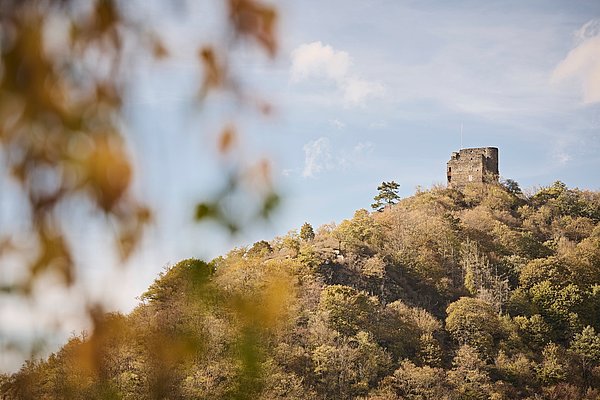
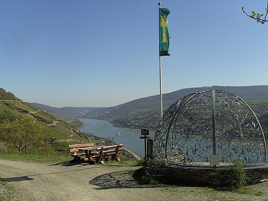
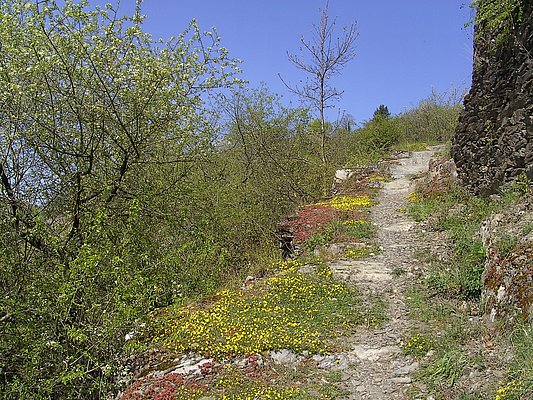
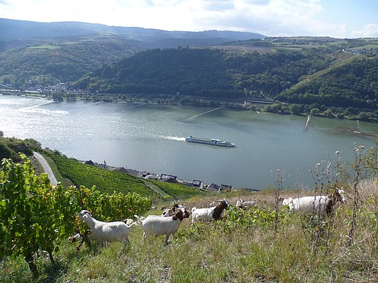
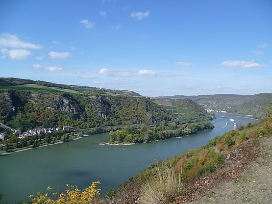
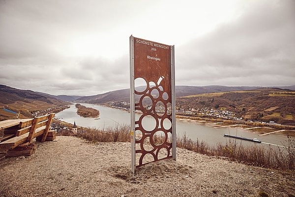
At Lorcher Martinskirche (noteworthy altar from the 15th century!), the stage to Kaub begins. Marktgasse leads to the Wisper bridge, after which you turn right into the riverside area. From there, you proceed over Wisperstraße and Wisperberg to the outskirts. The steep mountain is conquered in curves; soon the wide path transitions into an alpine steep trail (there is a yellow marked bypass). At the foot of the inaccessible Nollig ruin, both routes meet. Now bushes and dry stone walls line the path, which eventually flattens and lets the hiker enter the vineyards. From the left bank of the Rhine, Fürstenberg ruin greets, and the view extends far downstream and upstream. But the RS dips again into the forest and leads down to the Betzbach. Above the Clemenskapelle, the scenery opens up and you enjoy the view of Lorchhausen and down the Rhine. In the valley, you cross the stream and walk back into the Rhine valley on the hillside with a great view. There, at Wirbellay, a spectacular view is offered, with Bacharach particularly well in sight.
Again, the RS switches into the forest and turns into the hinterland. It circles the Obertal, passes a slate heap and returns to the Rhine valley. Shrubs line the RS until a magnificent view of the day’s destination Kaub opens up at the edge of the Niedertal.
First, the Niedertal must be circled. The RS dips into the hillside forest and leads down to the Niederbach. There, it immediately turns right uphill and passes a wine stand in the middle of the forest, which also offers regional delicacies in season. Then you reach the Grenzvogt. Here, at the border from Hesse to Rhineland-Palatinate, you are also in the Free State Flaschenhals. An information board explains what this “no man's land” of the French and American occupation zones in the 1920s was about. The RS crosses the stream and the state border and follows the Paul Claus path steeply uphill. The ascent is quickly mastered, and at the end of the path you may walk slightly downhill on a beautiful forest path through the hillside. At a rest area with a view, a local hiking trail from Kaub train station joins in.
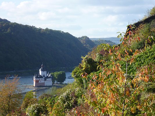
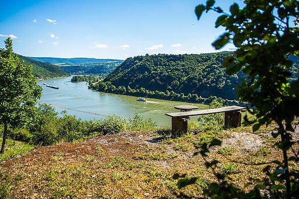
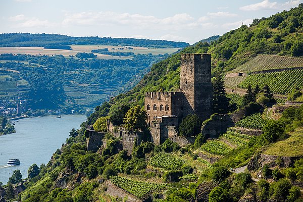
With a noticeable ascent, the RS turns into the Schenkelbachtal. You are rewarded with a significantly reduced noise level, and soon the stream bubbles idyllically next to the RS. After crossing the stream, the RS winds through the attractive forest, passing another viewpoint and a hut. From here, it goes downhill back to the hillside edge where the next magnificent view awaits at the Pfalzgrafenstein hut. Afterwards, the RS descends into the Volkenbachtal, crosses a road, and passes a large slate heap. Back in the main valley, the RS offers premium panoramic hiking, with the Pfalzgrafenstein on its island appearing like a ship in the stream. Before the (inaccessible) Gutenfels castle, the RS turns left and leads in loops down to Kaub. There, Adolfstraße meets Bahnstraße and Zollstraße. Those who want to go to the train station, located 200 m away, turn left; those who want to go into town, walk right and shortly afterwards end the stage in the center of Kaub.
Parking lots directly at the B 42 near the Lorch station.
By train to Lorch station.

Mittelrhein
·
:
Joachim Fox